


Plans presented to tackle wetland flooding
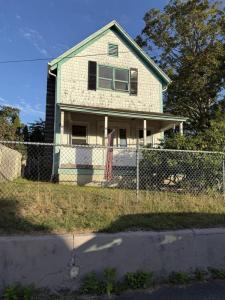
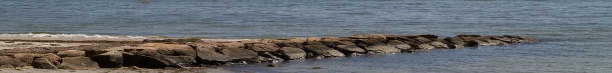
 The view from the culvert. Photo by Ethan Hunt
 Conceptual plans for the minimal action plan. The red line outlines the project boundary, green is marsh land, yellow is mud flaps and blue is water. Source Evelyn Mortimer
 The intermediate action conceptual plan that would add a layer of sediment to the marsh. Source Evelyn Mortimer
 The maximum action conceptual plan showing how the river would be re-routed. Source Evelyn Mortimer
The view from the culvert. Photo by Ethan Hunt
Conceptual plans for the minimal action plan. The red line outlines the project boundary, green is marsh land, yellow is mud flaps and blue is water. Source Evelyn Mortimer
The intermediate action conceptual plan that would add a layer of sediment to the marsh. Source Evelyn Mortimer
The maximum action conceptual plan showing how the river would be re-routed. Source Evelyn Mortimer
The maximum action conceptual plan showing how the river would be re-routed. Source Evelyn Mortimer
The view from the culvert. Photo by Ethan Hunt
Conceptual plans for the minimal action plan. The red line outlines the project boundary, green is marsh land, yellow is mud flaps and blue is water. Source Evelyn Mortimer
The intermediate action conceptual plan that would add a layer of sediment to the marsh. Source Evelyn Mortimer
The maximum action conceptual plan showing how the river would be re-routed. Source Evelyn Mortimer
As rising sea levels continue to cause flooding in coastal wetlands, the Buzzards Bay Coalition, Town of Wareham and the Wildlands Trust are working with engineers to figure out a plan to protect Wareham's wetlands.
In a public hearing held Jan. 28 at the Wareham Free Library, representatives from the Buzzards Bay Coalition, the Wildlands Trust, a Southeastern Massachusetts based environmental advocacy group and engineers presented a project to replace a culvert in the Great Neck Conservation Area.
The culvert is located underneath Indian Neck Road near many salt marshes and the Crooked River.
A culvert is a structure used for drainage that allows water to flow freely underneath a road without disrupting traffic.
Alex Patterson, an ecologist from EA Engineering explained the current culvert is not big enough to allow the wetland to drain properly. He added the project is still in the early stages of design and while construction is still years away, he presented three different conceptual models.
All three models include replacing the current 3 foot pipe culvert with an 8 foot by 8 foot concrete box. The plans also call for the removal of a smaller culvert in the Great Neck Conservation Area.
The first model, dubbed the minimal action model includes the replacement of the problematic culvert and the removal of the smaller culvert.
The next concept is the intermediate action model. This plan includes everything in the minimal action model and adds a layer of sediment to the salt marsh. Patterson explained this would help prevent the marsh from flooding, which he said has been problem for many coastal communities in Massachusetts.
The last , the plan maximum action model, includes all the work from the intermediate action model as well as re-routing the Crooked River back to its original shape.
Patterson said the river was moved decades ago when the land was used as a cranberry bog. He added re-routing it back to its original form would make it easier for water to flow through the salt marsh and it would promote further salt marsh growth.
As part of each model, Patterson said they would want to add trails and make the land more accessible for recreational use.
Event Date