Walking Wareham's Weweantic
Land along the Weweantic River, located in what was formerly known as South Wareham, was once a favorite fishing spot for a U.S. president, and home to an iron mill and even a cat food factory.
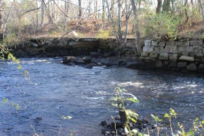
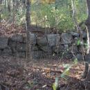
Portions of what used to be the South Wareham railroad are still visible in some of the walkways in what is now more than 60 acres of conservation land, and the crumbling foundations give a glimpse into a part of Wareham's history that many -- including local historians -- don't know much about.
A part of the property -- accessed by Station Street in West Wareham -- was recently acquired by the Buzzards Bay Coalition, some is owned by the Wareham Land Trust, another piece is owned by the Wildlands Trust, and still another is owned by the Town of Wareham.
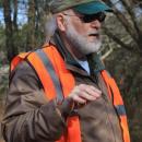
"It's absolutely impossible to imagine" the industry that took place in the area, Brendan Annett, Buzzards Bay Coalition Vice President for Watershed Protection, said during a "Bay Adventure" hosted by the nonprofit on Saturday.
The land along the Weweantic, through beautiful and rich in history, is often overlooked, Annett said.
President Grover Cleveland would likely be disappointed to hear that today. He particularly enjoyed fishing on the Weweantic, said Mack Phinney, a member of the Wareham Land Trust and lifelong resident of West Wareham.
"He had legislation passed so he could dip net for smelt," Phinney said of Cleveland.
That legislation is still in effect to this day. Residents of Wareham, Marion, Mattapoisett, and Rochester are permitted to net smelt in the Weweantic -- even though dip-netting is illegal on other state waterways.
Cleveland was enamored with the river for fishing, but the area was home to a handful of other industries.
The timeline of when each mill or factory was in operation is not exactly clear, said Phinney. In the 1800s, the Leonard family operated an iron mill, and by the 1850s, the mill was owned by the Tobeys.
Phinney suspects that iron was produced up until the Civil War.
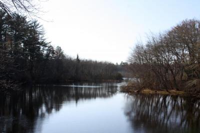
Horseshoe Pond, which connects to the Weweantic, is appropriately named for the industry.
"That's Horseshoe Pond, not because it's shaped like a horseshoe, but because they made horseshoes right here," Phinney said.
Horseshoes were so important, in fact, that "during World War I, you did not have to go to war" if you were involved in the production of horseshoes, because they were desperately needed for soldiers' horses, Phinney explained.
"The iron industry in Wareham was a huge industry," Phinney added, noting that the Tobeys also produced cast iron, possibly for stoves.
And Wareham had a far reach -- there is evidence of railroad transactions with Sweden, Phinney noted.
In later years, a building in which workers produced cat food was located in the same area.
"You'd drive down the road here, by the school, and you'd have to hold your breath," Phinney remembered, noting that the smell was not a nice one.
That building closed at some point, and in the 1960s, it caught fire and burned to the ground.
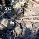
A walk through the surrounding forest reveals the old foundations, old bricks from the buildings with labels such as "Brockton" and nearby towns, and sometimes even old horseshoes.
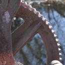
The dam that powered the industries is still in operation, though Annett explained that the Coalition is trying to determine what should be done with it, including whether it should remain a working dam.
The area used to be home to Native Americans, and some surmise a burial ground is located at the top of the largest hill in the spot. Many have dug for artifacts.
"There is very strong evidence of Native American camping," Phinney said.
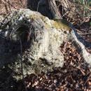
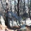
The land also features big, glacial rocks.
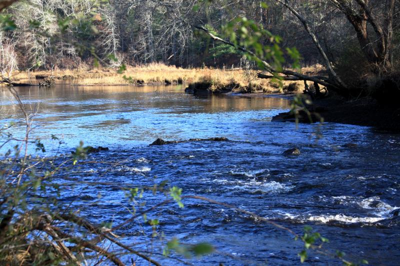
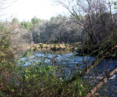
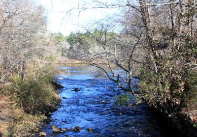
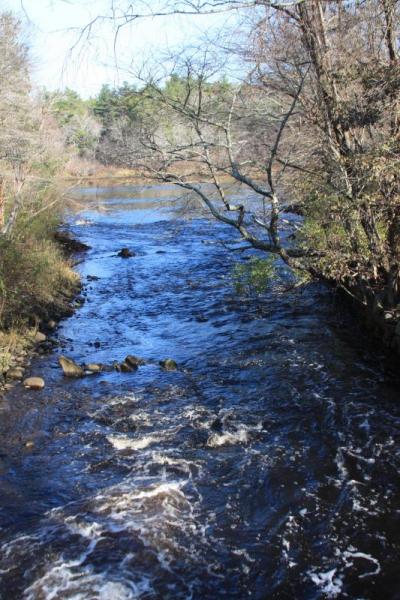
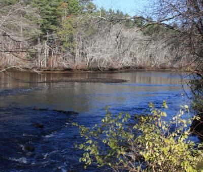
The waterway itself -- the largest river that flows into Buzzards Bay -- features a tidal marsh, and is paramount to many species of migratory fish that require both fresh and salt water during their life cycles -- for example, river herring, alewife, blueback herring, American eel, hog chokers, and of course, Cleveland's rainbow smelt.
Young herring grow in the salt marsh before moving into the open ocean. Then, they return to freshwater to spawn.
In the spring, the Weweantic is home to tens of thousands of juvenile glass eels, which are spawned east of Bermuda and then seek freshwater.
Want to hike the trails, walk the waterway, and check out the history yourself? Take Main Street to Station Street (next to John W. Decas Elementary), and follow Station Street until it ends. There is a small parking lot, and you'll see a Town of Wareham sign that reads: "Birch Island Conservation Area."
The Bay Adventure along the Weweantic was in part a celebration of the Buzzards Bay Coalition's 25th anniversary. The Coalition has hosted monthly tours throughout the bay this year, in an effort to showcase nature in neighbors' own backyards.
For more information about the Buzzards Bay Coalition and its Bay Adventures, visit www.savebuzzardsbay.org. For more about the Wareham Land Trust, visit www.warehamland.org.


